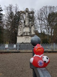
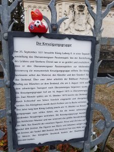
Wittelsbacher King Ludwig II. donated a monumental Crucifixion Group 1875 after he attended a special performance of the famous Oberammergau Passion Play 1871 after he saw it before 1860 together with his mother. He later visited the stone memorial several times at the anniversary of its inauguration 15th October 1875 and silently prayed but stopped to visit after this habit became too widely known and too many people came to watch and he did not like people around him. The monument is marble-carved out of marble from Kehlheim and it is stated that it was the biggest stone memorial ??? at this time.
Sheila has seen bigger ones though in Egypt and Asia but the ones in Asia were made of stonewalled material so we don’t khow how to interpret this statement.
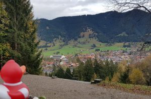
The site offers a nice view overlooking Oberammergau with the Passion Play Theater.
Sheila has seen bigger ones though in Egypt and Asia but the ones in Asia were made of stonewalled material so we don’t how to interpret this statement. Transporting it over the notorious, dangerous stage (mentioned as far south as in Italy) of the old “Alter Kienbergweg” was perilous 15th August 1875 as stonemason master Hauser and one of the members of his crew died during the transport. The statue of St. John fell down and killed the two.
Here is another group on its way to its Crucifixion. (German the gag runs better in German)
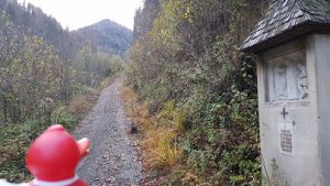
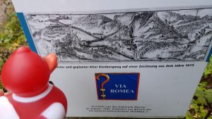
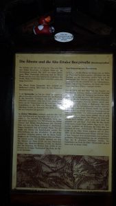
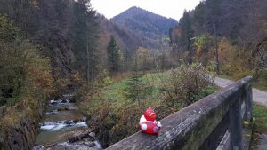
(bottom of the road in Oberau)
 Top of the road pass at Ettal
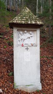
They are commemorated at the spot where it happened with a stone column at the side of the old road.
Before there was even the “Älterer Keinbergweg”, (older path) and maybe even older paths existed in Roman times as Romans are documented to have been fighting against local Raeter tribes in the Battle at the Döttenbichl in Oberammergau at the foot of the Kofel Mountain.
The location of the Roman Settlement Coveliacae is disputed. Some scientist say, it was at the Ammerschlucht (Echelsbacher Brücke) where the Ammer Valley was crossed.
Speculation: But that by my amateurish assessment does not make sense. Why should one cross the river at the most difficult place if you can cross it further upstream at Oberammergau where it is much easier? The name of the Kofel Mountain perfectly fits with the old Romanic word “Tobel” which perfectly describes the form of a valley like the Ammertal at this spot. Crossing the Ammer River downstream at the Ammerschlucht only makes sense if you can make money here by tariffs on trading goods like emperor “Ludwig Der Bayer” later did at the Rhine River. The old indication of the distances in the old Roman maps (miles) may have to be interpreted in a different way like as an equivalent in time and efforts. The way through the swamps and hills round Murnau and the often flooded Loisachtal was no piece of pie at that time too as I presume and the way across the Kienberg was much shorter with only one steep climb. And even maybe already developed by the Raeter.
Credit: Maps Icons Collection, thttps://mapicons.tmapsmarker.com
583 total views, 1 views today